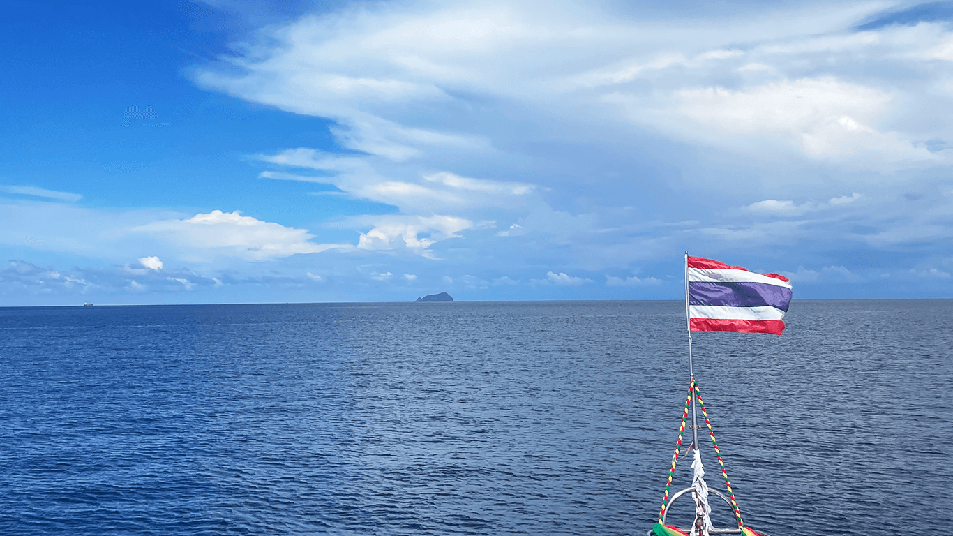
Racha Noi Island
Dive sites around Racha Noi: an uninhabited island with great depths

Racha Noi is a small uninhabited island located off the southern coast of Phuket.
The island lies almost in open sea, which provides better water clarity compared to its neighbor, Racha Yai.
The underwater landscape around the island is very diverse. You can find shallow bays with white sand and small hard coral reefs, as well as walls covered with soft corals descending down to 70 meters, and huge granite boulders the size of a three-story building. Because of the accessible depths, Racha Noi is popular among technical divers.

Dive sites around Racha Noi are divided into four main zones: north and south, east and west. Diving here depends on the season. From October to April, most boats prefer dive sites on the west coast. Around April, they move to the east coast, which is protected from the west monsoon winds.
Banana Bay

On the eastern side of the island lies the most popular dive site --- Banana Bay. The bay is named after its banana-like shape and stretches for more than one kilometer from north to south. It can be divided into three separate dive areas.
The central part of the bay begins in shallow water with sandy bottom and a beautiful coral reef that gently slopes down to 25 meters.
The northern side looks similar to the center: coral bommies rise here and there along the white sandy slope down to 35 meters. Each reef is decorated with crinoids, Christmas tree worms, and many colorful reef inhabitants.
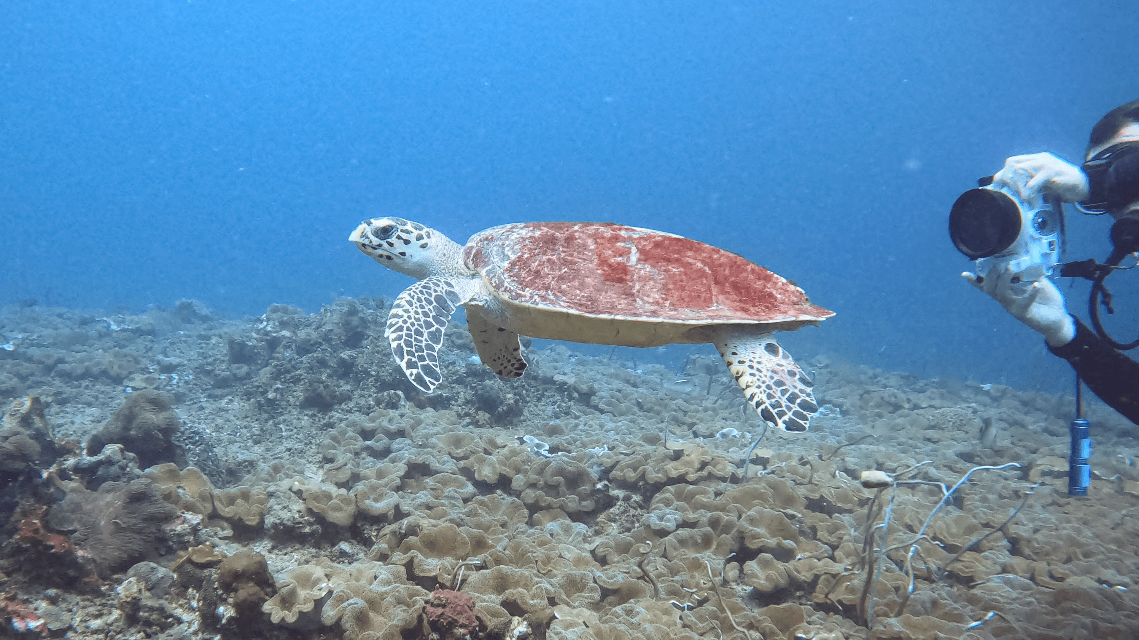
On the southern side, you can admire colonies of plate, brain, and other types of hard corals. In shallow areas, giant moray eels and cuttlefish can be seen. Sometimes a one-meter barracuda hangs motionless in the blue. In deeper sandy areas, a leopard shark may be resting. And occasionally, even a giant manta ray visits the bay.
Marina Bay

Marina Bay is located near the middle of the west coast of Racha Noi. The minimum depth here is about 10 meters, so only certified divers can dive here.
The gently sloping bottom is covered with staghorn coral, and the shallow part of the bay meets steep cliffs covered with sea fans.
To the west, huge granite boulders drop down to 30 meters and deeper. About 100 meters from shore, there are two pinnacles with depths reaching 60--70 meters around them, allowing trimix dives.
On the western side of the bay lies Maritas Rock (legend says it was named after the instructor who discovered it). It is formed by a pile of rounded rocks covered with sea whips and fire corals (around 21--23 m). Around it you will find hard and soft corals, typical reef fish, and sometimes reef sharks. One of the highlights here is the presence of large parrotfish.
Currents can range from moderate to strong, and visibility is usually good - around 15--30 meters.
Further south from Maritas Rock, there is a small wooden fishing boat resting on the bottom. It has been there for several years and is now home to various marine creatures.
North Tip

In the northern part of Racha Noi is the dive site called North Tip. The bay offers three possible dive routes. On the surface, the site is surrounded by beautiful tree-covered rocks.
The bay itself is quite shallow and usually well protected, making it ideal for beginner divers. On the eastern side, a formation of granite boulders covers most of the dive and ends in a large drop-off going deeper than 40 meters.
On the western side, you can see unusual rock formations that are different from other Racha Noi dive sites. The shallow area mainly consists of sandy bottom with scattered hard coral bommies. The hard coral reef gently slopes down to about 20 meters and attracts many reef fish, giant moray eels, and octopuses.
In deeper areas along the granite boulders on the eastern side, you may sometimes spot small schools of chevron barracudas. Be careful near the end of the boulders on both sides - there can be strong down currents pushing divers deeper.
South Tip (South Pinnacle)
On the southern part of the island lies the jewel of Racha Noi --- South Tip, also known as South Pinnacle. From October to April, giant manta rays are regularly seen here.
The minimum depth is about 9 meters, and strong currents are almost always present. Safety stops are often done in drift. Currents here can be extremely strong - both horizontal and vertical - flowing northeast to southwest and vice versa. This site is recommended only for very experienced divers.
The upper part of South Tip consists of several plateaus at depths of 9, 12, and 18 meters, covered with soft corals and anemones.
Divers can hide between the plateaus from strong currents while looking for manta rays. The edges of the plateaus drop steeply into deep walls covered with various corals. Large trevallies and giant jacks are common visitors, hunting schools of smaller fish.
Descending to 50--60 meters, technical divers may encounter large marble rays and whitetip reef sharks. Depths around the southern outcrop reach 70 meters, and strong down currents along the walls can make ascent very challenging.
East Bay

The dive site "Racha Noi Bay Rock," also called East Point, is located in the southeast part of the island.
Racha Noi Bay features a white sandy beach with a sandbar that, during low tide, extends toward a small rocky islet surrounded by reef.
This is usually a drift dive around the outer side of the rocky islet, depending on current direction. The water here is crystal clear, and the sand is incredibly white, making the site visually stunning both above and below water.
Depth on the outer side reaches more than 30 meters. In shallow areas, schools of small shimmering fish play in the light. In deeper water around the rocks, you may see Jenkins rays and eagle rays with their striking blue eyes.
Camera Bay

At the northwest tip of Racha Noi lies a shallow bay called Camera Bay.
Below the surface, a sandy plain slopes gently from 10 to 20 meters before dropping steeply to 30 meters (north of the bay). A mix of hard corals and granite boulders resembles the underwater landscape of the Similan Islands.
Dives usually begin inside the bay, where it is protected from currents and suitable for all diver levels.
This dive is generally considered easy. According to local legend, a professional photographer once lost all his equipment here, and it was never found. Since then, divers have called the place Camera Bay.
Plate corals covering the bottom look like a garden filled with giant golden stone roses. Between them hide marble crabs, hermit crabs, and striped shrimps. Look carefully - you might find a well-camouflaged frogfish.
The dive route usually exits the bay and follows the western edge of the island to the north.